
How It Works
Location in, accurate Revit massing out — in three steps
You Give Us a Location
An address, a pin, or a boundary anywhere in the world. That's all we need to start.
We Pull Real-World Data
Aerial imagery, GIS building footprints, real building heights, terrain elevation, roads, and water — sourced and aligned to true scale.
You Get a Native Revit Massing
A clean, accurate 3D massing model delivered in Revit — ready for context, design studies, and presentation.
Real Places, Modeled in Revit
A few sites built from real-world data — each one started as nothing more than a location.
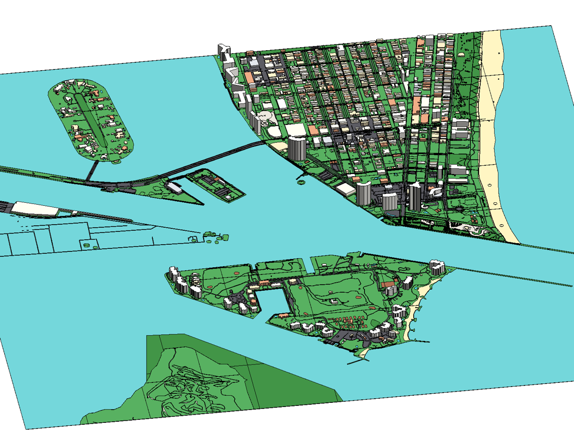
Fisher Island, Miami
Island site massing with terrain, golf course, and building footprints generated from GIS data.
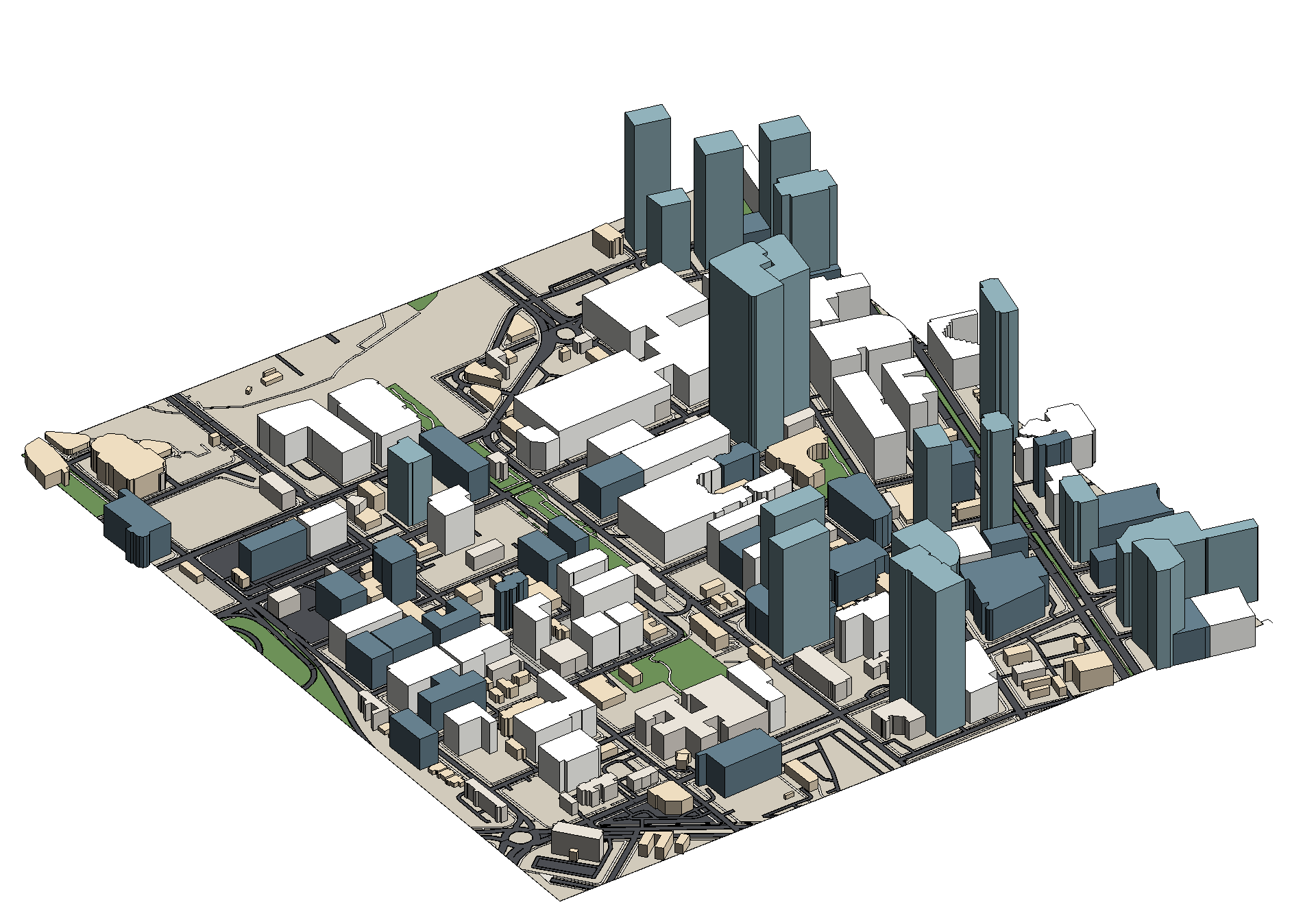
Brickell, Miami
Downtown skyline massing — towers extruded to real heights over an aerial-photo base.
Brickell — Bayfront Site
The same downtown massing set on its GIS site plane — dense urban fabric meeting Biscayne Bay.
Niagara Falls
City-scale massing across the river — buildings, roads, and water modeled in context.
Sandpoint, Idaho
Whole-downtown massing — hundreds of buildings, streets, and terrain extruded across the full town grid.
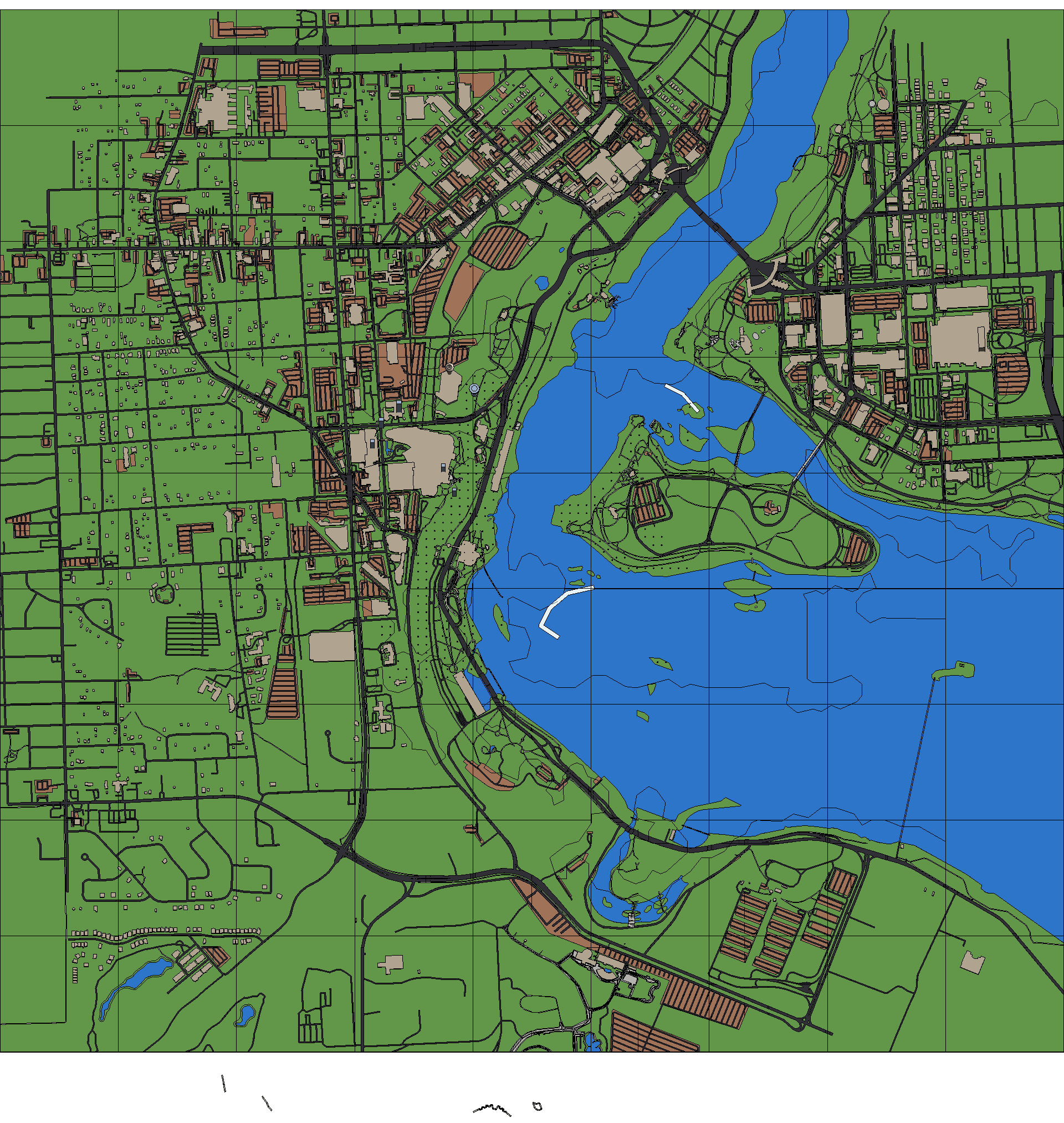
Riverfront District
Color-coded GIS massing of an urban riverfront — parcels, roads, islands, and water read at a glance.
What's in the Model
See It in Action
A short walkthrough of the 3D mapping workflow is on the way.
Demo video coming soon